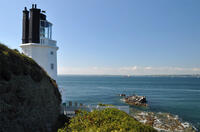
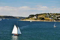
Great Molunan beach

Great Molunan lies in the mouth of the Carrick Roads estuary and is consequently sheltered from westerly winds by Pendennis Point opposite, although still exposed to southwesterlies. It's a sandy beach and on calm summer days is a fairly popular place for small boats to anchor or beach when pottering around in the estuary. At the bottom of the path to the beach there is a knotted rope to assist with the climb down the rocks.
Despite the name, Great Molunan is quite a small beach - the name is just to distinguish it from Little Molunan which even smaller.
- Tide times
- Beach info
- Map
- Dogs: allowed all year
Circular walks visiting Great Molunan beach
-
3.4 miles/5.4 km - Easy-moderate
St Anthony Head (short version)

St Anthony Head (short version)
3.4 miles/5.4 km - Easy-moderate
A walk on the Roseland coast and then into the Fal estuary to St Anthony Church via the fort St Anthony Head and the golden sandy beaches of Molunan.
-
5.9 miles/9.5 km - Easy-moderate
St Anthony Head

St Anthony Head
5.9 miles/9.5 km - Easy-moderate
A walk along the Roseland coast and creeks opposite St Mawes, passing the preserved fort and Fraggle Rock lighthouse on St Anthony Head and the golden sandy beaches of Molunan.
Download the iWalk Cornwall app and use the QR scanner within the app to find out more about any of the walks above.

