Circular walks around Redruth
Enjoy the walks by being guided by the app
-
6 miles/9.6 km - Easy
Twelveheads and Chacewater
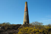
Twelveheads and Chacewater
6 miles/9.6 km - Easy
A circular walk in the Copper Kingdom of the Old World where the majority of world's copper came from during the 18th and 19th Centuries
-
2.7 miles/4.4 km - Easy-moderate
Gwennap Pit to Carn Marth (short version)
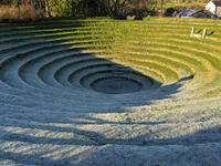
Gwennap Pit to Carn Marth (short version)
2.7 miles/4.4 km - Easy-moderate
A circular walk at Carn Marth with panoramic views right across mid-Cornwall to Falmouth and the Roseland, the Cornish Alps and Bodmin Moor, and St Agnes and Trevose Head
-
3.4 miles/5.4 km - Easy-moderate
Wheal Maid and Poldice Valley
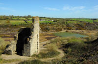
Wheal Maid and Poldice Valley
3.4 miles/5.4 km - Easy-moderate
A circular walk in the area described in Victorian times as the richest square mile anywhere on Earth
-
6 miles/9.6 km - Easy-moderate
Stithians to Kennall Vale
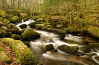
Stithians to Kennall Vale
6 miles/9.6 km - Easy-moderate
A circular walk in the valley of the River Kennall, where during Victorian times the cascading river was used to power gunpowder mills, five of which exploded in a chain reaction so violent that the roof of one was found a mile away.
-
6.2 miles/10 km - Easy-moderate
Gwennap Pit and Carn Marth
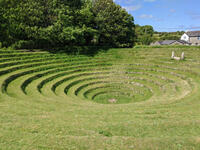
Gwennap Pit and Carn Marth
6.2 miles/10 km - Easy-moderate
A circular walk through an area steeped in mining history, with panoramic views from Carn Marth and the almost legendary Gwennap Pit which became so famous that even the neighbouring mine was renamed to Cathedral
-
5.9 miles/9.5 km - Moderate
Carn Brea and the Great Flat Lode
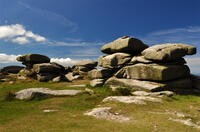
Carn Brea and the Great Flat Lode
5.9 miles/9.5 km - Moderate
A circular walk along the Great Flat Lode, where the Basset family made their fortune from the rich mineral reserves, to Carn Brea where they built a hunting lodge balanced on a tor in the style of a castle.
Download the iWalk Cornwall app and use the QR scanner within the app to find out more about any of the walks above.


