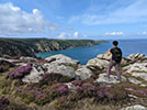
Circular walks around Helford

Enjoy the walks by being guided by the app
-
4.2 miles/6.8 km - Easy
Constantine to Scott's Quay
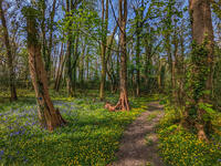
Constantine to Scott's Quay
4.2 miles/6.8 km - Easy
A circular walk at Constantine through woods and to the creek on the Helford river where a bustling quarrying and mining industry operated in Victorian times but have now been reclaimed by nature.
-
3.5 miles/5.6 km - Easy-moderate
Mawnan
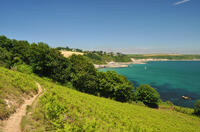
Mawnan
3.5 miles/5.6 km - Easy-moderate
A circular walk through three of the wooded valleys to the sheltered coves at the mouth of the Helford River
-
4.6 miles/7.4 km - Easy-moderate
Helford to Dennis Head
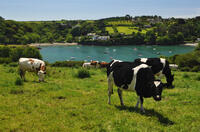
Helford to Dennis Head
4.6 miles/7.4 km - Easy-moderate
A circular walk around the creeks of the Helford River and the small villages settled by Celtic monks from Brittany.
-
5.8 miles/9.4 km - Easy-moderate
Rosemullion Head
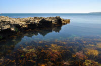
Rosemullion Head
5.8 miles/9.4 km - Easy-moderate
A circular walk passing the National Trust's Glendurgan gardens and the equally spectacular submarine gardens of Rosemullion Head where fish dart amongst the brightly-coloured blooms.
-
3.8 miles/6.1 km - Moderate
Helford and Frenchman's Creek

Helford and Frenchman's Creek
3.8 miles/6.1 km - Moderate
A circular walk through the wooded valleys of the Helford River including the most famous - Frenchman's Creek - which is still as pristine as when it inspired Daphne du Maurier's novel
-
4.4 miles/7.1 km - Moderate
Porthallow to Gillan
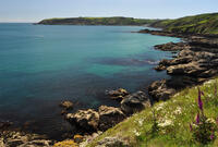
Porthallow to Gillan
4.4 miles/7.1 km - Moderate
A circular walk up Gillan Creek from Porthallow via Nare Point where, during World War II, an elaborate decoy for Falmouth Harbour was created by Ealing Film Studios with fake railways, houses and explosive special effects.
-
6.3 miles/10.1 km - Moderate
Helford Passage

Helford Passage
6.3 miles/10.1 km - Moderate
A circular walk on the Helford River, where the mild climate and south-facing slopes allow subtropical plants collected by Victorian expeditions to flourish in the gardens of Glendurgan and Trebah.
Download the iWalk Cornwall app and use the QR scanner within the app to find out more about any of the walks above.
