Circular walks around St Neot

Enjoy the walks by being guided by the app
-
6.1 miles/9.8 km - Easy-moderate
Golitha Falls and Siblyback Lake
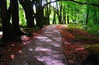
Golitha Falls and Siblyback Lake
6.1 miles/9.8 km - Easy-moderate
A circular walk through the Golitha Falls National Nature Reserve along ancient rights of way to pass around Siblyback Lake, where the remains of a mediaeval field system rise from the water when reservoir levels fall.
-
7.3 miles/11.7 km - Easy-moderate
Golitha Falls to Trethevy Quoit
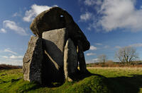
Golitha Falls to Trethevy Quoit
7.3 miles/11.7 km - Easy-moderate
A circular walk through the Golitha Falls National Nature Reserve, to King Doniert's Stone - a memorial to the last King of Cornwall, and the prehistoric tomb of Trethevy Quoit, returning via St Cleer where the holy well is reputed to cure madness.
-
3.8 miles/6.8 km - Moderate
Minions and the Cheesewring
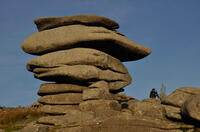
Minions and the Cheesewring
3.8 miles/6.8 km - Moderate
A circular walk around the iconic landmarks at Minions, including The Hurlers stone circles, The Cheesewring and the engine houses of the South Phoenix Mine.
-
4.3 miles/6.9 km - Moderate
Treslea Downs and Warleggan
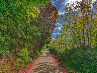
Treslea Downs and Warleggan
4.3 miles/6.9 km - Moderate
A circular walk at one of Cornwall's more remote and eccentric hamlets, displaying a "twinned with Narnia" sign and with a church where the vicar surrounded his rectory with barbed wire and preached to an empty church containing name cards of his parishioners
-
5.1 miles/8.2 km - Moderate-strenuous
St Neot Two Valleys
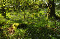
St Neot Two Valleys
5.1 miles/8.2 km - Moderate-strenuous
A circular walk from St Neot though the valley of the River Loveny, past a prehistoric settlement, through bluebell woodland and along the River Fowey, and returning via the church, famous for its mediaeval stained-glass.
Download the iWalk Cornwall app and use the QR scanner within the app to find out more about any of the walks above.
