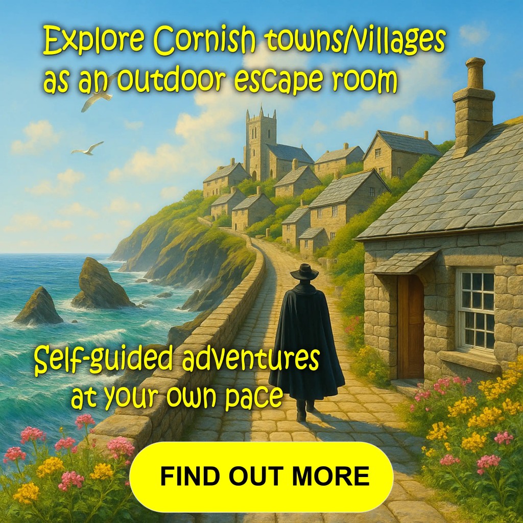
Most Popular Walks this Week
Enjoy the walks by being guided by the app


-
4.2 miles/6.8 km - Easy
Constantine to Scott's Quay

Constantine to Scott's Quay
4.2 miles/6.8 km - Easy
A circular walk at Constantine through woods and to the creek on the Helford river where a bustling quarrying and mining industry operated in Victorian times but have now been reclaimed by nature.
-
5.2 miles/8.4 km - Moderate-strenuous
Rough Tor and Brown Willy

Rough Tor and Brown Willy
5.2 miles/8.4 km - Moderate-strenuous
A mostly circular walk to Cornwall's two highest tors, passing prehistoric remains including the holy well, summit cairns and settlements.
-
3.8 miles/6.1 km - Moderate-strenuous
Hall Walk from Fowey to Polruan

Hall Walk from Fowey to Polruan
3.8 miles/6.1 km - Moderate-strenuous
A circular version of the famous Hall Walk from Bodinnick to Polruan, recorded as a walk with "sweete senting flowers" in Tudor times and during the Civil War where a gun shot aimed at Charles I is said to have instead killed a fisherman who stood on the same spot moments later.
-
3.8 miles/6.8 km - Moderate
Minions and the Cheesewring

Minions and the Cheesewring
3.8 miles/6.8 km - Moderate
A circular walk around the iconic landmarks at Minions, including The Hurlers stone circles, The Cheesewring and the engine houses of the South Phoenix Mine.
-
4.9 miles/7.9 km - Moderate
Gorran Haven to Dodman Point

Gorran Haven to Dodman Point
4.9 miles/7.9 km - Moderate
A circular walk in the bays of Mevagissey and Veryan from the fishing village of Gorran Haven to the remote, sandy Hemmick Beach via The Deadman's Point of old nautical maps, still marked with a huge cross to warn sailors of the perilous lee shores, and Vault Beach where the wreckage washed ashore.
-
6 miles/9.7 km - Moderate
Sennen Cove, Land's End and Nanjizal

Sennen Cove, Land's End and Nanjizal
6 miles/9.7 km - Moderate
A circular walk from the white sandy beach at Sennen Cove along the towering granite cliffs via Land's End to the song of the sea cave at Nanjizal. The best way to see Land's End.
-
3.2 miles/5.2 km - Easy
St Erth, River and Pits
St Erth, River and Pits
3.2 miles/5.2 km - Easy
A circular walk from St Erth along the River Hayle, through woods and fields to Porthcollum then returning past the St Erth Pits nature reserve, with views over the Hayle valley which was once a lagoon separating an island of West Penwith from the Cornish mainland.
-
3.9 miles/6.2 km - Moderate
Bossiney, St Nectan's Glen and Rocky Valley

Bossiney, St Nectan's Glen and Rocky Valley
3.9 miles/6.2 km - Moderate
A short circular walk through the woods of St Nectan's Glen and canyons of Rocky Valley, past the ruined mills and labyrinthine carvings, and along the coast to the golden sandy cove at Bossiney Haven.
-
4.3 miles/6.9 km - Easy
Mawgan Porth to St Mawgan

Mawgan Porth to St Mawgan
4.3 miles/6.9 km - Easy
A mostly circular walk from Mawgan Porth along the Vale of Lanherne, following the river Menalhyl to St Mawgan and returning past the 800-year-old cloistered Convent where the sanctuary light has been burning for hundreds of years.
-
4.9 miles/7.9 km - Easy-moderate
Constantine Bay to Porthcothan

Constantine Bay to Porthcothan
4.9 miles/7.9 km - Easy-moderate
A circular walk between Constantine Bay to Porthcothan via nature's swimming pool at Treyarnon beach and a spectacular series of islands, headlands and tiny coves named after wine and pepper smuggled there, and the rock where a customs officer was left by smugglers to drown.


Download the iWalk Cornwall app and use the QR scanner within the app to find out more about any of the walks above.